Menu
Home
About Lab
Research
Services
Projects
Publications
Education
Research Team
HI Resources
Events
News
Projects
Home
Projects
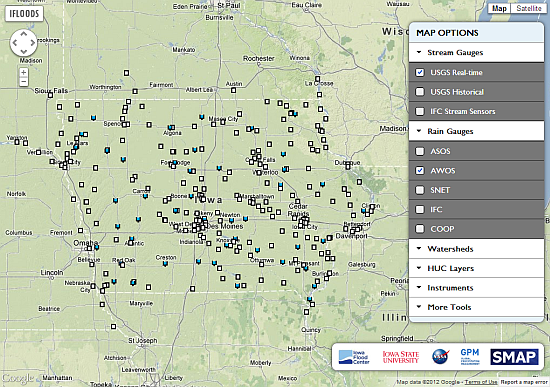
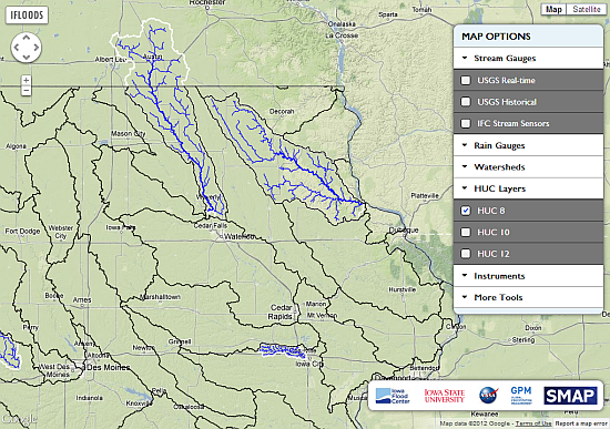
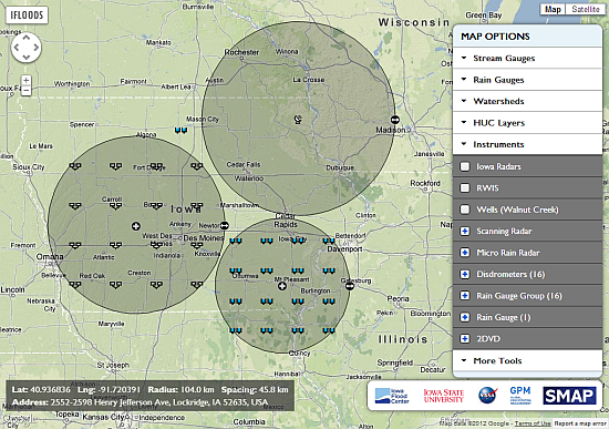
NASA IFLOODS Planning Tool
A web-based interface is developed for positioning radars and rainfall instruments with adjustable range and location, watersheds, and rich spatial layers on a map interface.
Related Articles